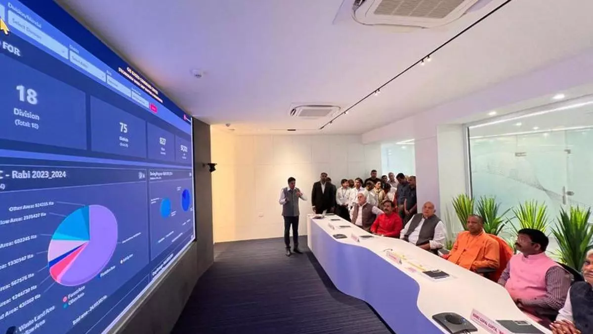
UP govt’s AI-based GIS command centre to visualise agri data of gram panchayats
Uttar Pradesh Chief Minister Yogi Adityanath has opened an AI-driven Geographic Information Systems (GIS command centre in Lucknow. The centre will visualise agricultural data from over 57,000 gram panchayats across 827 blocks in all 75 districts of Uttar Pradesh.
A media statement said this initiative, which is spearheaded by Agribazaar (an agritech platform and a member of the StarAgri group), is part of the crop survey project by the Uttar Pradesh Diversified Agriculture Support Project (UPDASP).
The project was developed under the guidance of Manoj Kumar Singh, Uttar Pradesh government’s , Agricultural Production Commissioner. Agribazaar will be s the nodal agency for the project for the next three years and will partner with three private companies in its efforts.
Enhance resource management
The statement said the project will enable the real-time visualisation and analysis of spatial data and provide stakeholders with valuable insights into soil health, crop yields, and weather patterns. These data-driven insights will, in turn, help enhance resource management practices, identify areas for targeted interventions, boost agricultural productivity, and improve access to farm services such as credit and insurance, thus strengthening the resilience of India’s agriculture sector.
The statement quoted Amit Mundawala, co-founder and Managing Director of Agribazaa: “We are deeply honoured to lead this pivotal initiative. The comprehensive data collected will serve as a scientific repository, addressing critical gaps in India’s agricultural value chain. By empowering informed decision-making, it will ultimately benefit both farmers and consumers removing information inefficiency in the Indian agri-value chain.”
As the nodal agency in the GIS-based command centre, Agribazaar’s efforts align with the government’s Amrit Kaal vision for agriculture, paving the way for an inclusive farmer-centric agricultural ecosystem, it said.
