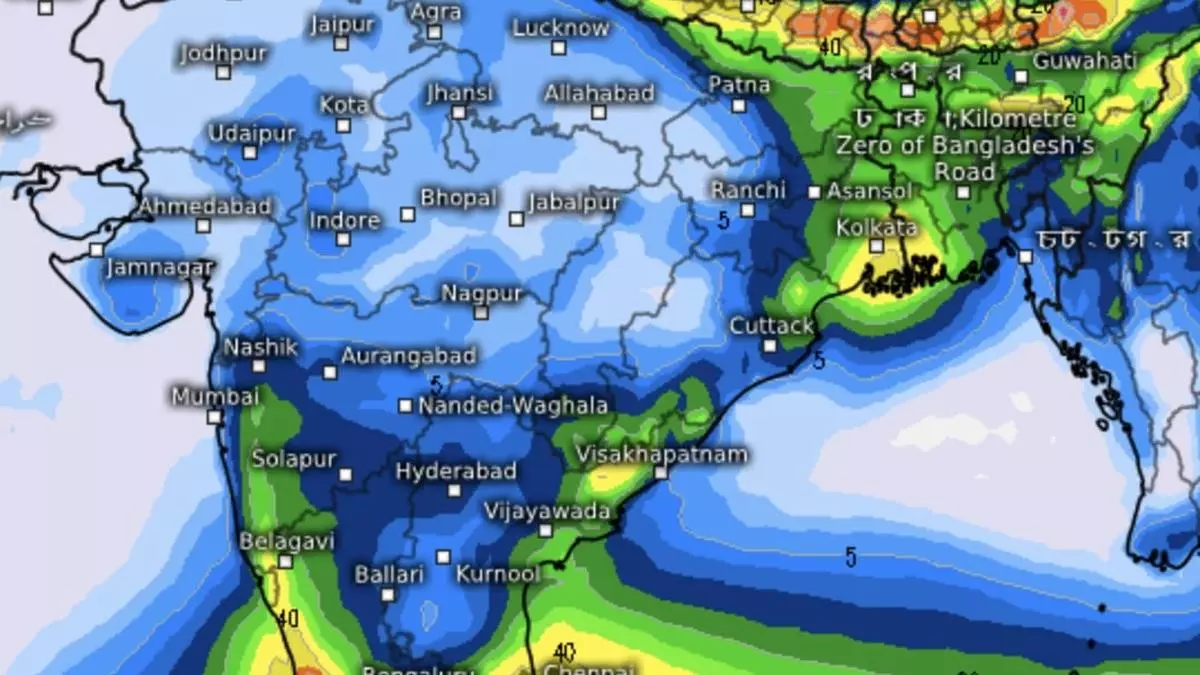
Pre-monsoon thunderstorms fan out over most parts of country
Pre-monsoon thunderstorms are blooming over almost the entire landscape of the country – nowhere as growingly virulent as over the South Peninsula during the next four-five days – accompanied as they are by a fusillade of sharp showers or heavy rain, high winds, hail storms or lightning at many places.
India Meteorological Department (IMD) said as many as 26 of the 36 meteorological subdivisions may witness isolated to scattered to fairly widespread to widespread showers over the next seven days under the watch of visiting western disturbances over North-West India, and troughs/lines of wind discontinuity or fleeting circulations over the rest of the country.
Pre-monsoonal type
Troughs/lines of wind discontinuity are decidedly pre-monsoonal type, while western disturbances originating from the Mediterranean and travelling across Iran, Afghanistan and Pakistan enter North-West India amplifying weather over North-West and East and North-East India. Moisture-laden air gets lifted by these formations to get cooled and, in turn, precipitate as rain or hail.
On Friday, an East-West trough ran down from North-West Rajasthan to South Assam across Madhya Pradesh, Jharkhand, and the plains of West Bengal. Troughs are veritable minefields with embedded cyclonic circulations that trigger the ascending motion of air. Such circulations emerged over North-West Rajasthan, Central Madhya Pradesh, and North-East Assam.
Rain deficit, all-India
A second trough originated from a circulation over North Bihar towards North Odisha across Jharkhand and plains of West Bengal. Cyclonic circulations hung also over South Kerala and the North-East Arabian Sea off the Gujarat coast. These circulations can die out during the course of a few hours to days, depending on moisture feed and a favourable wind pattern.
Pre-monsoon has so far delivered a rain deficit of 16 per cent for the country as a whole, with South Peninsula recording the worst at -55 per cent. The region is slowly emerging from the gruelling impact of an unprecedented hot spell that singed parts of Kerala, Tamil Nadu, Karnataka, Rayalaseema and Telangana. Delayed thunderstorms have brought some relief to these parts.
Surplus over Central India
East and North-East India have recorded rain deficits of -27 per cent and -2 per cent, respectively, while Central India returned a surplus of +64 per cent. The forecast for May 9-15 indicates excess showers for Kerala, Tamil Nadu, Karnataka, Marathwada, Madhya Maharashtra, and East India. Kerala, Tamil Nadu, and Karnataka may extend the gains into the third week (until May 23).
