Normal to above-normal rain seen as N-E monsoon debuts next week
The North-East monsoon is expected to keep its date and materialise first over the South-East Peninsular India during the week beginning October 19 as predecessor South-West monsoon exits the country. The India Meteorological Department (IMD) has predicted normal to above normal rainfall for the region during the season ending in December.
The first week will likely see normal to above normal rainfall over extreme South Peninsula (southern parts of Kerala and Tamil Nadu). A train of moderate to active western disturbances will continue to keep the plains of North-West India and adjoining East India alongside. Jammu & Kashmir, Ladakh and Punjab have already received excess rainfall from October 1.
Kerala turns ‘normal’
On Friday afternoon, a cyclonic circulation lay over south Tamil Nadu and neighbourhood in lower tropospheric levels. A western disturbance was parked over southern Afghanistan, and is expected to move into Pakistan and North-West India. It may spin up an induced cyclonic circulation over Central Pakistan soon, and elevate it to an active western disturbance.
Towards the South, the entire West Coast from Konkan & Goa, Coastal Karnataka and Kerala have received rainfall during the first fortnight of October. Kerala has turned into ‘normal’ in terms of rainfall received compared to the consistent below-normal record all through the four-month South-West monsoon (June-September), now in the terminal phase.
Active sea state
Global models put the West Pacific with the strongest signal for low-pressure area/depression over the South China Sea in the vicinity of the Philippines during the next two weeks. Some others point to potential formation over the Arabian Sea while the IMD expects both the Arabian Sea and the Bay of Bengal to stay animated, and help the North-East monsoon.
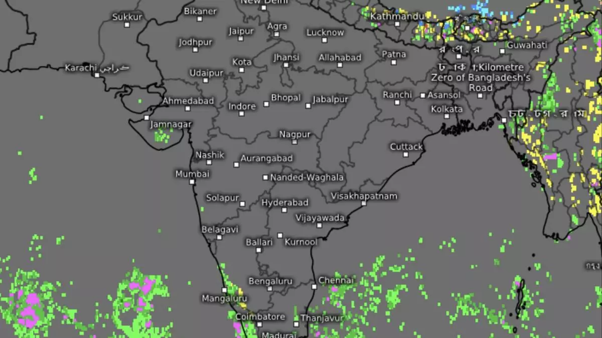
In an outlook for the next five days, light to moderate rainfall has been forecast at many places over the South Peninsula with isolated heavy rain, thunderstorms and lightning over Kerala and Mahe until Tuesday next; over Tamil Nadu on Friday, Monday and Tuesday; and over South Interior Karnataka on Monday and Tuesday. Met subdivisions of Tamil Nadu, Puducherry and Karaikal as well as South Interior Karnataka have received below-normal rainfall so far during October.
Monsoon exit apace
As for North-West India, light to moderate rainfall is predicted at some to many places accompanied with isolated thunderstorms and lightning over Jammu-Kashmir-Gilgit-Baltistan-Muzaffarabad during Saturday to Monday; and over Himachal Pradesh, Uttarakhand, Punjab, Haryana, Uttar Pradesh and Rajasthan on Sunday and Monday. Isolated heavy rain may break out over the Kashmir-Gilgit Region and Himachal Pradesh on Monday.
The South-West monsoon has further withdrawn from most parts of Bihar; remaining parts of Jharkhand and Chhattisgarh; some parts of the hills of West Bengal; entire plains of West Bengal and Odisha; remaining parts of Chhattisgarh; some parts of Coastal Andhra Pradesh; most parts of Telangana; and some more parts of North Interior Karnataka. The line of withdrawal on Monday passed through Forbesganj, Malda, Vishakhapatnam, Nalgonda, Raichur and Vengurla.
