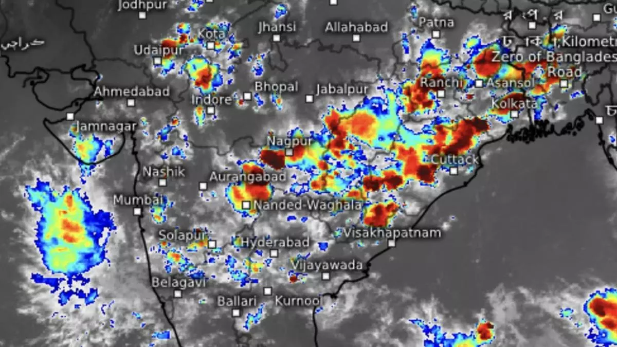
Indian south-west monsoon commences withdrawal, but Bay of Bengal may bring further rainfall
In a dramatic turnaround and with five days to go before the normal end of the season, the monsoon has cut down the all-India rain deficit to just five per cent. The shortfall is now limited to parts of East and North-East India and the South Peninsula, with Kerala heading the table (-38 per cent), rainfall statistics available on Monday said. This came even as the India Meteorological Department (IMD) announced the monsoon has withdrawn from parts of South-West Rajasthan against the normal date of withdrawal (as revised in 2020) from September 17, in what would be a month-long process across the country,
Positive IOD helps
The last month (September 1 to 25) has realised 16 per cent above normal rainfall in an expansive phase helped in no small measure by a positive phase of the Indian Ocean Dipole (IOD). The turnaround had happened after the rain deficit had shot up into double figures (a high of 11 per cent) that had raised the spectre of a failed monsoon.
Overall rain figures are now within striking distance of IMD’s predictions (96 per cent), though the late burst may not suit the interests of farmers going for harvest of early sown crops. Their worries may be doubled with the IMD confirming the possibility of a low-pressure area forming over the East-Central Bay of Bengal over the next few days. businessline had hinted at this in a report last week (https://www.thehindubusinessline.com/economy/agri-business/monsoon-preparing-to-withdraw-but-may-run-into-bumps-along-the-way/article67334145.ece).
Fresh low-pressure area
The IMD said a cyclonic circulation may form over the North Andaman Sea and neighbourhood around September 29 as a remnant of a counterpart from the East over the South China Sea. It may initiate the formation of a ‘low’ over the North Andaman Sea and adjoining East-Central Bay the very next day. Thereafter, it may move in a typical West-North-West track with the possibility of gradual intensification. Models, however, are not in full agreement on whether it would go on to become a depression/cyclone just yet, though some are not ruling out the possibility.
Heavy rain forecast
In the run up to this, isolated very heavy rains erupted over the Andaman & Nicobar Islands from Wednesday to Friday. Over South India, light to moderate to fairly widespread to widespread rainfall with isolated heavy rain is forecast over Coastal Andhra Pradesh, Telangana and Tamil Nadu on Monday, Tuesday and Wednesday; over Coastal Karnataka and Kerala on Thursday and Friday; over North Interior Karnataka and Rayalaseema on Monday and Friday; and South Interior Karnataka on Thursday.
Over West India, light/moderate fairly widespread to widespread rainfall to thunderstorms and lightning with isolated heavy rain is likely over Konkan, Goa and Madhya Maharashtra for five days from Monday over Marathwada and East Gujarat on Monday and Tuesday and over Saurashtra on Monday. Global models indicated the withdrawal of the monsoon may become entrenched from October 5 after the low-pressure system from the Bay dies out.
