IMD Predicts Normal August, Above-Normal September Rainfall; Risk to Kharif Crop.
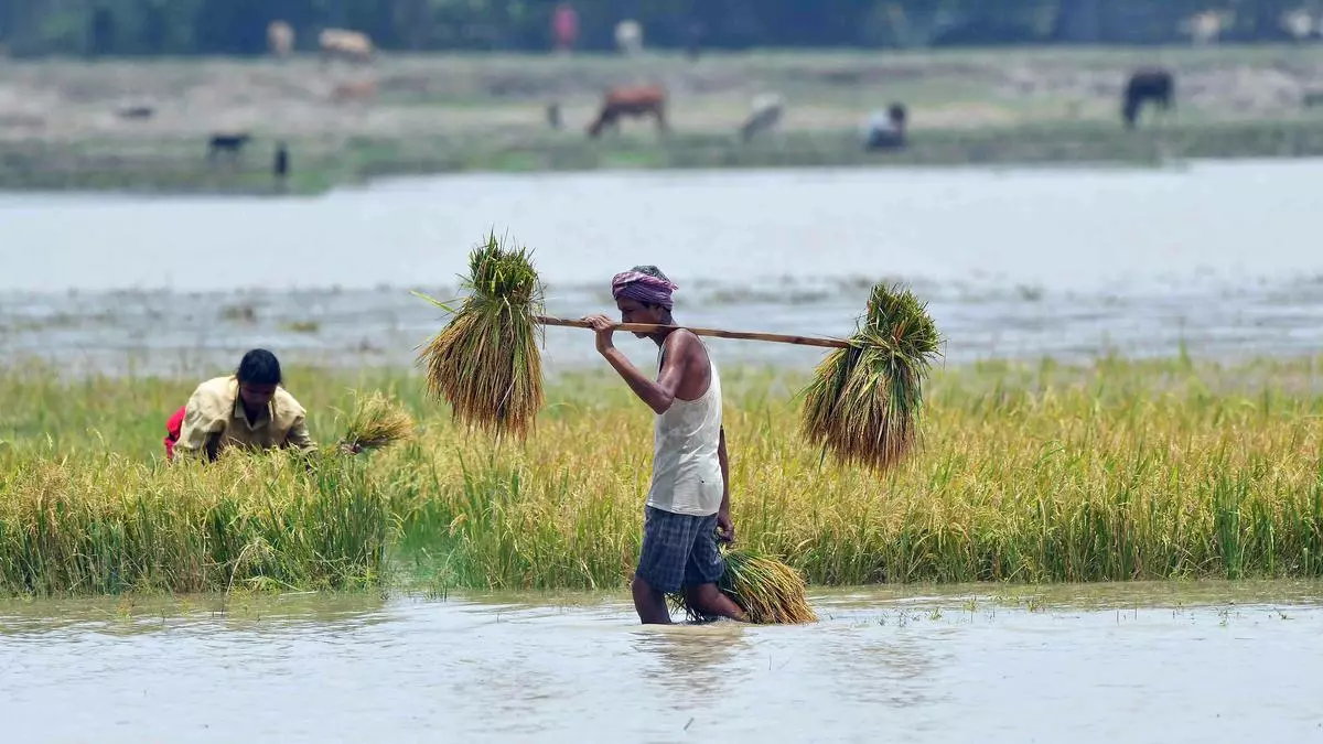
India Meteorological Department (IMD) on Thursday predicted normal rainfall in August, but also forecast ‘above normal’ precipitation during August-September period, indicating higher rainfall in the last month of the monsoon season, potentially posing a risk to standing Kharif crops ready for harvest.
Addressing media about the actual rainfall in July and the likely precipitation during the second half of monsoon season, IMD Director-General M Mohapatra said the rainfall over the entire country during August-September 2024 is most likely to be above-normal (higher than 106 per cent of the long period average). The Long Period Average (LPA) for August to September period is 422.8 mm.
Below-normal rain in some areas
However, he said many parts of north-east and adjoining areas of east India, Ladakh, Saurashtra and Kutch, and some isolated pockets of central and peninsular regions may experience “below normal” (less than 94 per cent of LPA) rainfall.
IMD issued separate forecast for this month predicting that rainfall across the country will be “normal” (94 to 106 per cent of LPA) except many areas in southern parts of central and adjoining northern peninsular India, north-east and adjoining areas of eastern India, some parts of north-west and south peninsular India.
Asked about a possibility of higher rains in September, he said it is likely to be more than in August as the ENSO (El Nino-Southern Oscillation) neutral conditions are giving way to La Nina conditions.
Neutral IOD
Mohapatra said neutral ENSO conditions are currently prevailing in the equatorial Pacific region and India’s Monsoon Mission Climate Forecasting System (MMCFS) indicates La Nina is likely to develop towards the end of August. The current neutral conditions of the Indian Ocean Dipole (IOD) are likely to continue until the end of the monsoon season, he said.
Pan-India rainfall during June-July was 453.8 mm, up by 1.8 per cent from 445.8 mm considered normal for the period.
Mohapatra said the central India meteorological subdivision, which heavily relies on monsoon rainfall for agriculture, has been receiving good rainfall for the third consecutive monsoon season, which is likely to help cotton, soyabean and pulses crop, in particular. However, some experts said there was damage to soyabean crop in Madhya Pradesh in the past due to above normal rains in September.
Though there has been high rainfall deficit in Haryana and Punjab among key agriculture states, the current spell of rains and the likelihood of normal spell during the continuing weeks may not pose any danger to kharif crops as these states are highly irrigated.
Warning for “Wayanad’
Meanwhile, subsequent to the Centre’ statement that Kerala was forewarned about heavy rainfall, the IMD chief said the weather bureau has been issuing regular forecasts for significant rainfall activity along the west coast of India and a red alert for Kerala in the early morning of July 30 was issued.
Wayanad district in Kerala was hit by landslides on July 30 that killed more than 160 people. Home Minister Amit Shah on Wednesday had said that the Kerala government did not heed the Centre’s warning regarding a possible natural calamity in Wayanad due to heavy rains. But, Kerala Chief Minister Pinarayi Vijayan said the IMD had only issued an “orange alert” for the district.
Vijayan said the district had received over 572 mm of rainfall, which was significantly higher than what was predicted by the IMD. But, according to Mohapatra, a red warning was issued in the early morning of July 30, indicating very heavy rainfall. Between 120 mm and 200 mm precipitation falls under very heavy category.
The IMD chief said an orange warning means “be prepared for action and one should not wait for red warnings.” Similarly, warnings were in place for Himachal Pradesh and Uttarakhand, he said.
