IMD firms up outlook for ‘revival of active monsoon’ from August 18
The India Meteorological Department (IMD) has updated its forecast, stating that active monsoon conditions are expected to return around August 18. This should mark the end of the current break phase, during which the usual seasonal rains reduce, except in areas like the Himalayan foothills, East and North-East India, and Tamil Nadu.
The rain-sustaining monsoon trough has retreated to North of its normal position, bringing to bear the ‘break phase’ over large parts of West, Central and South India and plains of North-West India for days now. The IMD said the trough will remain over the foothills for another 4-5 days and start shifting gradually southwards to its normal position along the plains of North India.
Rainfall in negative range
This movement will bring its eastern end ultimately to dip into the North Bay of Bengal and likely help generate a rain-driving circulation. At this stage of the monsoon, it all boils down to circulations/low-pressure areas from the Bay to bring the monsoon back to life. Its location (Head Bay or North-West Bay) will ultimately determine the spatial spread of the rainfall.
The all-India rainfall scenario fell into the negative category (-1 per cent) on Friday from a surplus until a few days ago, with Kerala leading the way with an individual deficit of -42 per cent. In comparison, the East and North-East where the monsoon trough is located, has continued to improve its status even as North-West held on to the surplus secured from early on.
Extended forecast
An extended outlook by the IMD from August 16 indicated the possibility of fairly widespread to widespread light to moderate rainfall along the foothills of the Himalayas, parts of East and North-East India as well as along the West Coast and the islands (Lakshadweep and Andaman & Nicobar). Scattered to fairly widespread light to moderate rainfall is likely over Central India. But elsewhere, it would be isolated to scattered, though it could pick up over the following couple of days.
Rain for TN, Rayalaseema
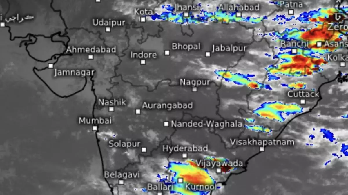
The current lie of the trough at the foothills brought heavy to very heavy rainfall with extremely heavy falls over Haryana during the 24 hours ending on Friday morning. It was heavy to very heavy rainfall over Himachal Pradesh and Uttarakhand and heavy over Punjab over North-West India; Jharkhand in East India; and over Rayalaseema and Tamil Nadu along the East Coast. This is typically a skewed rain pattern associated with the monsoon ‘break phase.’
Tell-tale signs
The rest of the country also showed tell-tale signs of the weak monsoon with random troughs an circulations with clearly localised impact. These included circulations over North-East Uttar Pradesh and adjoining Bihar and another over Gujarat as part of a visiting western disturbance. A troughs ran down from East Bihar to North-West Bay while another extended from South Interior Karnataka to Comorin Area across Tamil Nadu. Full-fledged monsoon doesn’t brook such formations.
