Heavy rain lashes TN, Rayalaseema as storm builds over Bay of Bengal
Parts of Tamil Nadu, Puducherry, Karaikal and Rayalaseema have been receiving heavy to very heavy rainfall during the 24 hours ending on Thursday morning as a well-marked low-pressure area awaited further churn and intensification as a depression by Friday some distance away over the South-East Bay of Bengal, India Meteorological Department (IMD) said.
The brewing depression will move in a West-North-West direction, and intensify into a cyclone over South-West Bay by Sunday. It would change track to North-West and reach North Tamil Nadu and South Andhra Pradesh coasts around early morning on Monday. This would be the third cyclone of the season in the Bay, and the closest yet to the Tamil Nadu coast. The IMD has not indicated the exact landfall area though other models point to a location just North of Chennai.
Heavy rain forecast
Light to moderate scattered to fairly widespread rain and thunderstorms over Andhra Pradesh and Yanam, Tamil Nadu, Puducherry, Karaikal, Kerala and Mahe during next five days when the depression would further intensify and approach the coast. Isolated heavy rain may continue to lash coastal Tamil Nadu, Puducherry, Karaikal, Kerala and Mahe on Saturday.
Meanwhile, stations receiving the maximum rain (in cm) until Thursday morning over Tamil Nadu and Rayalaseema meteorolical subdivisions even as the well-marked low-pressure area gathered steam some distance away into the sea are are Avadi-19; Kolathur, T.V.K Nagar and Ponneri-15 each; Ambattur and Malar Colony-14 each; Thalaignayer, Cholavaram and Alandhur-13 each; Ambattur, Adyar Eco Park, Anna University, Maduravoyal, Puzhal ARG and Red Hills-12 each (Tamil Nadu) and Tada-14, Venkatagiri-10 and Satyavedu- 7 (Rayalaseema).
Western disturbance on way
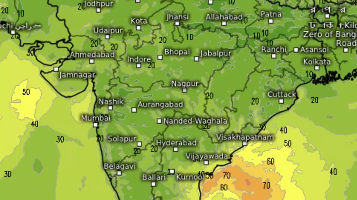
Elsewhere on Thursday, an incoming western disturbance steamed into Afghanistan on way to Pakistan and North-West India and set up an induced cyclonic circulation farther ahead over North-West Rajasthan. This has resulted in a confluence between easterly winds from Bay of Bengal and winds associated with the circulation over North-West Rajasthan .It may trigger scattered to fairly widespread light to moderate rain, thunderstorms, lightning and isolated hailstorms in the plains over over Madhya Pradesh and Vidarbha. Light isolated rain and thunderstorms re likely over Madhya Maharashtra and Marathwada on Friday.
