Back-to-back western disturbances to briefly end cold snap in Northwest India
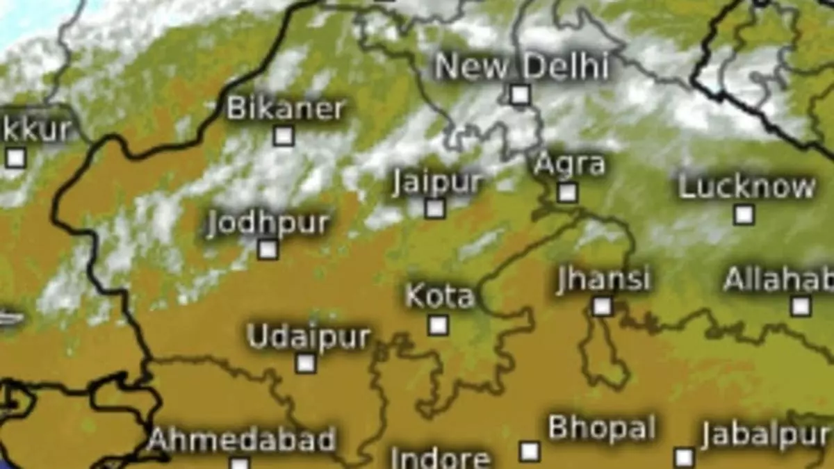
The dawn of New Year is bringing into play back-to-back western disturbances over the hills and plains of North-West India. The first locked in over Jammu and adjoining north Pakistan on Thursday while the other waited on its trail over central Iran.
The India Meteorological Department (IMD) defines a western disturbance as either a cyclonic circulation/trough in the mid and lower tropospheric levels or a low-pressure area on the surface. They originate over the Mediterranean Sea, Caspian Sea or the Black Sea and move across Iran, Afghanistan, and Pakistan before entering North-West India.
Induced circulation likely
In what is a signal to strength of the second disturbance, the IMD said an induced cyclonic circulation is likely to form over Punjab and neighbourhood over the next three days after the system digs deeper southwards and causes a cyclonic circulation to form. It will feed moisture from the Arabian Sea to the hills of North-West India for three days from, from Sunday to Tuesday.
The moisture-laden winds blowing into the Himalayan heights will cool, condense and fall down as light to scattered rain/snow over the hills (Jammu & Kashmir, Himachal Pradesh, Uttarakhand) for three days from Thursday, and scattered to fairly widespread rain/snow on Sunday and Monday. It will be heavy at isolated places over Jammu-Kashmir-Ladakh on these days.
Isolated over plains
This apart, isolated thunderstorms accompanied by lightning also lis likely over Jammu-Kashmir-Ladakh and Himachal Pradesh on Sunday and Monday, the IMD said. As for adjoining plains (Rajasthan, Punjab, Haryana, Chandigarh, West Uttar Pradesh), it has predicted light isolated to scattered rain from Saturday to Monday.
Arrival of the disturbance and associated warm clouds on Thursday morning has helped raised night temperatures by 1-2⁰C from frigid cold levels over some parts of Jammu-Kashmir-Ladakh, Himachal Pradesh, East Rajasthan and Gujarat. The minima were below 0°C over many parts of Jammu, Kashmir & Ladakh from lack of cloud cover associated with a western disturbance.
Mercury to reverse trend
Temperatures had fell by 2-4⁰C over many parts of Central India, and by 1-2⁰C over many parts of North-West and East India. The minimum ranged between 4-9°C over many parts of North-West and Central India and Jharkhand; 9-14°C over many parts of East India; and 14-18°C over many parts of West India. The lowest minimum of 4.4°C over the plains was reported at Dehri (Bihar).
These conditions are set to reverse as the western disturbances extend their influence over the region gradually. Minimum temperatures may rise by 2-3℃ over North-West India during next five days. No significant change is indicated for Central and East India for next three days, but minimum temperatures may rise gradually by 2-3℃ thereafter.
Minimum temperatures may fall by 2-3℃, likely over the Maharashtra region during the next two days, and there may be no significant change thereafter. As for Gujarat, the IMD saw no significant change in minimum temperatures for the next five days.
