Isolated heavy rain forecast for Tamil Nadu, Puducherry, Kerala, Andhra Pradesh this weekend
Model predictions indicate that a brewing depression and a string of cyclonic circulations may cast a spell over the Arabian Sea and the Bay of Bengal during the weekend and into early next as a low-pressure area over east-central Arabian Sea off Maharashtra has intensified into being ‘well-marked’ and waits to be upgraded as the first post-monsoon depression this year.
The India Meteorological Department (IMD) said on Friday afternoon that the depression may be declared as early as Sunday morning. Satellite maps revealed that a volatile trough runs from the centre of the well-marked low towards the southeast Arabian Sea off south Kerala, bringing rain along this part of the west coast.
String of circulations
On the other side of the peninsula, an upper air cyclonic circulation lay over the south Tamil Nadu coast even as a counterpart hung in anticipation over the central parts of the South Bay. The ensemble is primed for ‘better things’ early next week, thriving under the benign watch of a passing Madden-Julian Oscillation (MJO) across the larger Indian Ocean.
Squally weather with wind speeds of 35-45 km/hr gusting to 55 km/hr may prevail over the Maldives, Lakshadweep, and Comorin areas, along and off the Kerala, Karnataka, Goa, Maharashtra, and south Gujarat coasts, Gulf of Mannar, and along and off the south Sri Lanka coast. The IMD warned fishermen not to venture into these areas during the next seven days.
Heavy rain reported
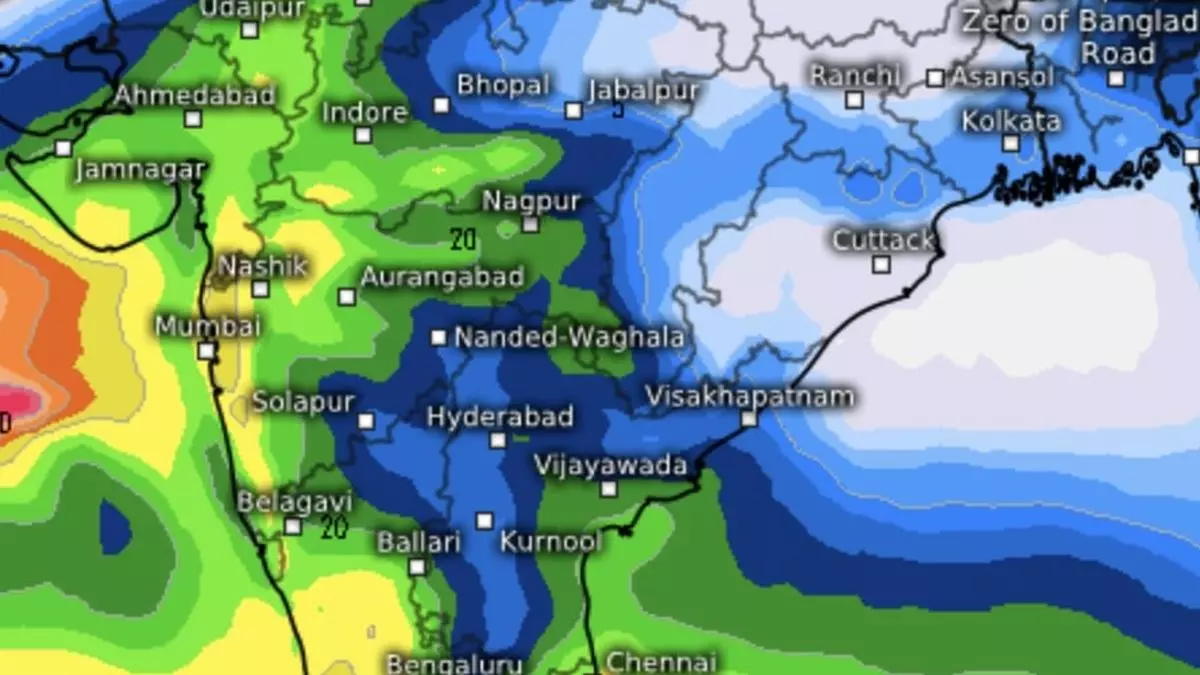
Heavy to very heavy rain lashed parts of Konkan and Goa during the 24 hours ending on Friday morning as the well-marked ‘low’ lurked not far away. It was heavy over the Gujarat Region (north Gujarat, Gandhidham, and south Gujarat); Madhya Maharashtra; Coastal Andhra Pradesh & Yanam; Rayalaseema, South Interior Karnataka; Tamil Nadu, Puducherry, and Karaikal during this period.
Wet outlook for south
Isolated very heavy rain is likely in Tamil Nadu, Puducherry & Karaikal on Monday and Tuesday, over Rayalaseema, Coastal Andhra Pradesh & Yanam on Tuesday. It will be isolated heavy over Kerala & Mahe during the week and over Tamil Nadu, Puducherry and Karaikal until Wednesday; Coastal Andhra Pradesh & Yanam on Monday and Tuesday; Rayalaseema from Tuesday to Thursday; and over South Interior Karnataka on Saturday, Tuesday and Wednesday, the IMD said.
More rain forecast
Fairly widespread to widespread to moderate rain is likely over Andaman & Nicobar Islands; fairly widespread to widespread to moderate over Arunachal Pradesh, Assam & Meghalaya during the next two days and scattered light to moderate during subsequent five days; and isolated to scattered light to moderate over east India, Nagaland, Manipur, Mizoram & Tripura during the week. Isolated heavy rain may lash Arunachal Pradesh on Saturday and Andaman & Nicobar Islands on Sunday.
It will be scattered to fairly widespread to moderate over Konkan & Goa and Gujarat during next three days and isolated to scattered light to moderate during subsequent four days; and isolated to scattered light to moderate over remaining region during the week. Isolated heavy rain over Madhya Maharashtra & Gujarat Region on Saturday.
Monsoon withdrawal update
On Friday, the prevailing south-west monsoon withdrew from the entire Uttar Pradesh, major parts of Madhya Pradesh, some parts of Bihar, Jharkhand, and Chhattisgarh, even as the south peninsula waits for a successor north-east monsoon. On Friday, the line of withdrawal extended from Darbhanga (Bihar); Hazaribagh (Jharkhand); Pendra Road (Chhattisgarh); Narsinghpur and Khargaon (Madhya Pradesh); Nandurbar (Maharashtra); and Navsari (Gujarat). Conditions are favourable for further withdrawal from remaining parts of Gujarat, Madhya Pradesh, Jharkhand and Bihar; some more parts of Maharashtra and Chhattisgarh; and some parts of Odisha, West Bengal & Sikkim during next two days.