IMD sets up depression watch over central Arabian Sea as wait for North-East monsoon continues
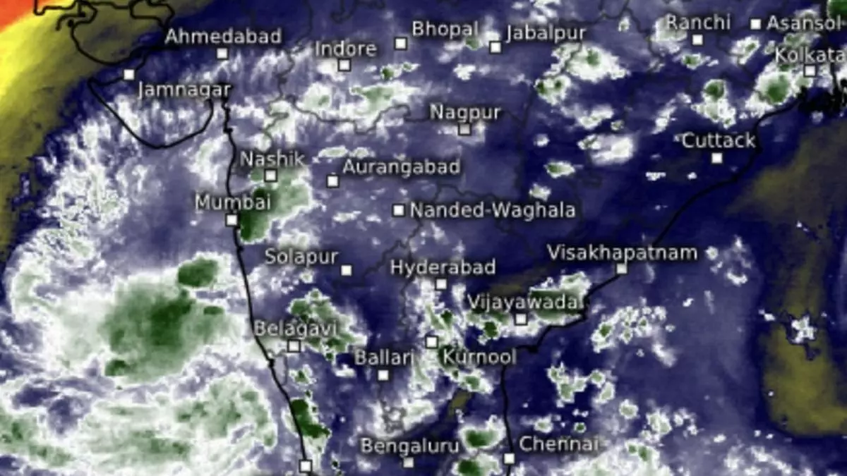
True to predictions, a low-pressure area has formed over Lakshadweep and adjoining south-east and east-central Arabian Sea, India Meteorological Department (IMD) said on Wednesday afternoon. It is likely to move north-west into the open waters and intensify into a depression over central Arabian Sea during next three to four days.
Category 5 storm Milton
Buzz in the Arabian Sea hardly compared with a dangerous category-5 hurricane Milton sloshing in the Gulf of Mexico waters half a world away, barreling towards the Florida coast in the US, with adjoining south-eastern parts having been battered by predecessor category-4 hurricane Helene.
Monstrous Milton may weaken ahead of landfall, but not before breaking some records in terms of sheer power and attributes of a catastrophic storm, close on heels of another powerful storm.
Circulation off Sri Lanka
Back home, a cyclonic circulation lay over Sri Lanka, which, along with the ‘low’ over Lakshadweep could likely have a crucial bearing on how soon the prevailing south-westerly monsoon winds can reverse to being easterly to north-easterlies and herald the October-December wet season. IMD has already said the ensuing north-east monsoon may deliver above-normal rainfall.
A helpful trough ran down from Comorin to the north Konkan coast across the ‘low’ over Lakshadweep on Wednesday. Another cyclonic circulation lay over east Assam with trough aloft across central Bangladesh, pouring its contents over parts of east and north-east India. The circulation over Lanka too may help hasten the establishment of seasonal north-easterly flows.
Isolated heavy rain likely
Isolated heavy to very heavy rain is forecast over Tamil Nadu from Saturday to Monday; and over Kerala and Mahe on Saturday and Sunday.
Isolated heavy rain is likely over Tamil Nadu, Puducherry & Karaikal during the week; over Lakshadweep on Thursday; Coastal Karnataka on Thursday and Sunday; South Interior Karnataka for four days until Sunday; and over South Interior Karnataka on Friday. It will be isolated heavy over Arunachal Pradesh and Assam & Meghalaya until Friday.
Circulation may cross over
Numerical model predictions indicate the circulation off Sri Lanka may strengthen and cross the island nation and adjoining south peninsular India to emerge over the Arabian Sea off Coastal Karnataka by October 15 (Tuesday next) by when the reversal of winds may have been fully established over the Bay of Bengal, peninsular India and the Arabian Sea.
Meanwhile, the 24 hours ending on Wednesday morning saw heavy to very heavy rain being reported from isolated places over Konkan & Goa; Coastal Karnataka; and Arunachal Pradesh while it was heavy at isolated places over Tamil Nadu; South Interior Karnataka; Assam & Meghalaya,;Nagaland, Manipur, Mizoram & Tripura; and the hills of West Bengal & Sikkim.
Rain outlook for the week
Outlook for rest of the week said fairly widespread to widespread light to moderate rain is likely over Lakshadweep; Kerala & Mahe; Tamil Nadu, Puducherry & Karaikal; and Coastal and South Interior Karnataka. It will be isolated to scattered light to moderate over North Interior Karnataka; Rayalaseema; Telangana; Coastal Andhra Pradesh & Yanam.
It will be scattered to fairly widespread light to moderate over Konkan & Goa and isolated to scattered/moderate over the remaining region this week. Isolated heavy rain is likely over Konkan & Goa and Madhya Maharashtra until Saturday. In the north-east, it will be scattered to fairly widespread to moderate, and isolated to scattered light during subsequent two days.