IMD hints at depression over Arabian Sea, Bay may catch up soon
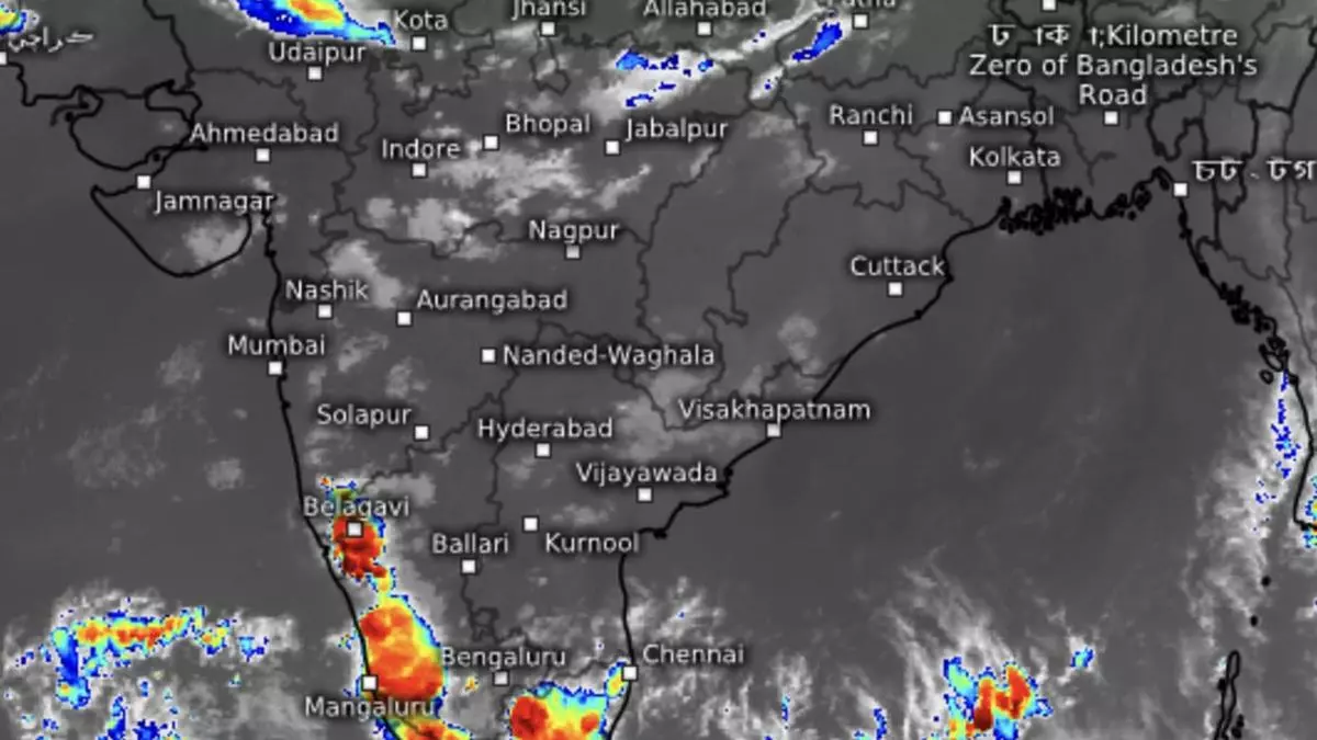
Southern parts of Kerala, especially Thiruvananthapuram district, have been witnessing unprecedented floods during the past few days even before the North-East monsoon has arrived, while India Meteorological Department (IMD) has declared a depression alert over the Arabian Sea around the Lakshadweep Islands over the next couple of days.
Sea stay active
The Arabian Sea and the Bay of Bengal continue to be in an active state capable of sustaining the heavy to very heavy rainfall trend. businessline had flagged this probability in a report three days ago (https://www.thehindubusinessline.com/economy/agri-business/normal-to-above-normal-rain-seen-as-n-e-monsoon-debuts-next-week/article67416682.ece). A few global weather models suspect the conditions may wax and wane for next 10 days (up to October 26) as well.
Rains over the Southern Peninsula may witness a new peak as the Bay of Bengal spins up a likely depression late during this week or early next. According to a short-term outlook of the IMD, easterly wave activity may flourish, leading to the formation of a preparatory cyclonic circulation, some distance away from Tamil Nadu during the next couple of days. A low-pressure area/depression here may spare the Tamil Nadu coast a direct impact, while spinning away towards North-East on the coast.
Twins systems likely
A fortuitous combination of two systems concurrently in the Bay of Bengal and the Arabian Sea (likely depressions both) will drive up the rainfall over the South Peninsula during this period, and bring in the North-East monsoon. The proceedings are being helped also by prodigious incoming flows from the West Pacific/South China Sea.
The IMD said on Monday the line of withdrawal of predecessor South-West Monsoon passed through Forbesganj, Malda, Vishakhapatnam, Nalgonda, Raichur and Vengurla, unchanged from last weekend. It may exit the remaining parts of Bihar, hills of West Bengal and Sikkim, entire North-East India, some more parts of Andhra Pradesh, remaining parts of Telangana, and some more parts of North and Central Bay during the next couple of days.
Western disturbance
Meanwhile over North-West India, the other geographical region where a wet spell is active, an incoming causative western disturbance as a cyclonic circulation is parked over North Pakistan. It had induced the formation of a secondary cyclonic circulation currently located over Haryana. This has been feeding in moisture from the Arabian Sea to North-West India. Heavy rain and hailstorm are forecast over parts of the hills and plains of the region for next couple of days.
